
In the ever-evolving landscape of technology, precision is paramount, especially when it comes to location-based services. This blog series delves into the world of Differential Global Navigation Satellite Systems (DGNSS). In this inaugural post, we will unravel the diverse domains where accuracy is not just a preference but an absolute necessity and also take you on a journey into the cosmos of GNSS.
Applications
Surveying and Mapping
- In the world of surveying and mapping, accuracy is indispensable for creating reliable and detailed spatial representations.
- Accurate land surveying is essential for a variety of purposes, such as determining property boundaries, creating topographic maps, and supporting the construction of buildings and infrastructure.
Navigation
- It helps in ensuring safe navigation, particularly in congested or hazardous locations.
- Display real-world scenarios in which precise location is a nautical requirement.
Precision Agriculture
- Transforming agriculture by providing precise planting, fertilization, and harvesting.
- Illustrate the impact of accuracy on resource optimization, cost reduction, and increased crop yields.
Aviation
- Accurate navigation is essential for safe takeoffs, landings, and en route operations in aviation.
- Highlight instances where even minor deviations can pose serious risks, underlining the importance of accuracy.
Emergency Response and Public Safety
- Examine the vital role of accurate location data in emergency situations, such as natural disasters or accidents.
- Showcase how accurate location data can significantly improve response times and aid in effective crisis management.
What is GNSS?
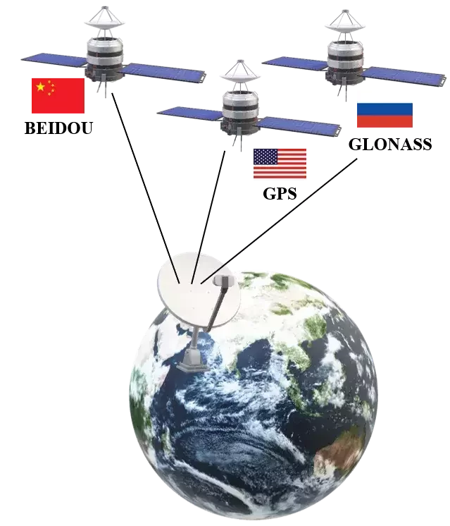
The most well-known GNSS is the Global Positioning System (GPS), although there are also GLONASS (Russia), Galileo (European Union), and BeiDou (China) satellite navigation systems.

While Global Navigation Satellite Systems (GNSS), such as GPS, provide widespread and reliable positioning information, the limitation of the standalone GNSS is in its accuracy.
Standalone GNSS such as GPS will have an error of 4–5cm with respect to the real-world coordinates. To address this limitation, Differential GNSS (DGNSS) is employed. This can bring the error up to the cm or mm level.
This brings us to the end of the blog. I hope this article gained some knowledge for you!
Please find the video on our YouTube channel from here.
Thank you for reading.
SurveyGyaan is an educational initiative under the Surveyaan brand, which is a subsidiary of Nibrus Technologies Private Limited. Surveyaan specializes in drone manufacturing and the development of photogrammetry software.
Surveyaan: www.surveyaan.com
Surveyaan GeoWorkspace: app.surveyaan.com