
Precision. Efficiency. Reliability.
Differential GNSS (DGNSS) technology delivers centimeter-level accuracy, transforming geospatial workflows across infrastructure and industrial sectors.
Explore how DGNSS is used in Roads, Railways, Land Surveying, and Mining to improve precision, reduce costs, and enhance safety.
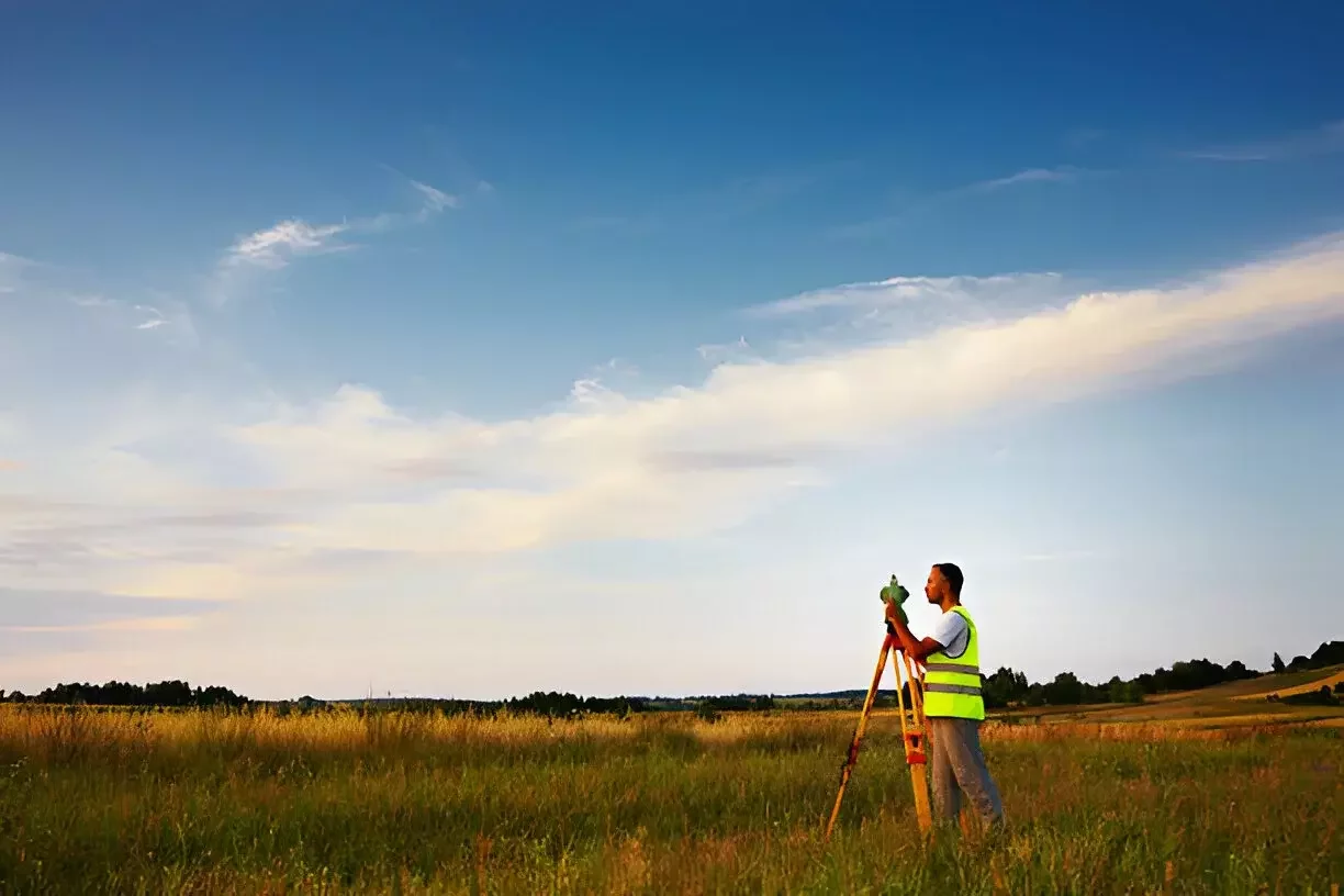
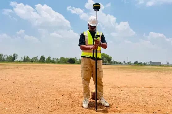
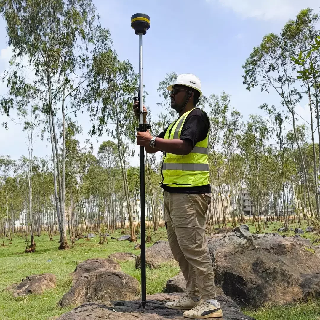
Surveying
Map, measure, and model land with unmatched accuracy
Roads
Ensure safer, faster, and more accurate road construction
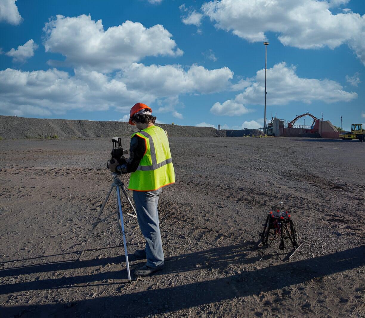
Mining
Enhance safety and accuracy in mining operations
Construction
Benefits
Benefits
Precision. Efficiency. Reliability.
Differential GNSS (DGNSS) technology delivers centimeter-level accuracy, transforming geospatial workflows across infrastructure and industrial sectors.
Explore how DGNSS is used in Roads, Railways, Land Surveying, and Mining to improve precision, reduce costs, and enhance safety.
Surveying
Map, measure, and model land with unmatched accuracy
Mining
Enhance safety and accuracy in mining operations
Roads
Ensure safer, faster, and more accurate road construction
Construction
Accurate Layouts, Faster Execution
Benefits
Challenges in Different Industries
Surveying
- Traditional methods are time-consuming and prone to human error.
- Data entry errors and human interpretation lead to inconsistent outputs.
- Long field times and repeated visits delay project timelines.
Mining
- Traditional GPS lacks the precision needed for reliable volume calculations and bench marking.
- Surveyors working near active pits or equipment face safety hazards.
- Delays in data processing slow down operational decisions.

Roads
- Setting out road alignments is labor-intensive and prone to small deviations.
- Elevation errors from manual leveling tools lead to incorrect grading.
- Difficulty in capturing accurate as-built data for documentation and maintenance.
Construction
- Manual staking and layout errors using total stations often lead to misaligned structures.
- Elevation mismatches from dumpy levels and basic leveling tools result in incorrect grading
- Time-intensive workflows delay project phase — from excavation to foundation and utilities.
The Solution is Here
The Solution is Here
The Solution is Here
High-Performance RTK Receiver
for Accurate, Reliable Surveying
High-Performance RTK Receiver
for Accurate, Reliable Surveying
High-Performance RTK Receiver
for Accurate, Reliable Surveying
Surveying
Surveyors depend on DGNSS to capture precise geospatial data for land development, urban planning, and infrastructure design. DGNS enhances:
- Achieve centimeter-level positioning for boundary and topographic surveys
- Reduce field time and data collection errors.
- Enable real-time decision-making with RTK and PPK workflows
- Improve legal and planning accuracy for land records and development
Mining
DGNSS empowers surveyors in mining to collect precise, real-time geospatial data even in challenging and hazardous environments. `
- Perform high-accuracy volume calculations of stockpiles and excavation
- Support remote, safe surveying in hazardous zones
- Enhance mine planning and blast design with reliable positioning.
- Enable real-time machine control for loaders, dozers, and haul trucks

Roads
DGNSS gives road surveyors the power to deliver high-precision results in less time — from planning to construction.
- Improve road alignment, grading, and drainage precision
- Accelerate site stakeouts and as-built documentation
- Reduce costly rework and construction delays
Construction
DGNS empowers construction surveyors with the accuracy and efficiency needed to keep projects on track, on time, and within budget.
- Enables fast and accurate layout of foundations, utilities, and structural elements
- Reduces rework through real-time validation and corrections
- Validate on-site work in real time, checking layout points, elevations, and distances instantly.

Surveying
Surveyors depend on DGNSS to capture precise geospatial data for land development, urban planning, and infrastructure design. DGNS enhances:
- Achieve centimeter-level positioning for boundary and topographic surveys
- Reduce field time and data collection errors
- Enable real-time decision-making with RTK and PPK workflows with reliable positioning
- Improve legal and planning accuracy for land records and development
Mining
DGNSS empowers surveyors in mining to collect precise, real-time geospatial data even in challenging and hazardous environments
- Perform high-accuracy volume calculations of stockpiles and excavation
- Support remote, safe surveying in hazardous zones
- Enhance mine planning and blast design with reliable positioning
- Enable real-time machine control for loaders, dozers, and haul trucks
Roads
DGNSS gives road surveyors the power to deliver high-precision results in less time — from planning to construction.
- Improve road alignment, grading, and drainage precision
- Accelerate site stakeouts and as-built documentation
- Reduce costly rework and construction delays
Construction
DGNS empowers construction surveyors with the accuracy and efficiency needed to keep projects on track, on time, and within budget.
- Enables fast and accurate layout of foundations, utilities, and structural elements
- Reduces rework through real-time validation and corrections
- Validate on-site work in real time, checking layout points, elevations, and distances instantly.
Need DGNSS for Your Project?
View our Product to Know More
Whether you're planning roads, railways, land development, or mining operations—our DGNSS solutions provide the accuracy and reliability you need.

Need DGNSS for Your Project?
Whether you're planning roads, railways, land development, or mining operations—our DGNSS solutions provide the accuracy and reliability you need.
Need DGNSS for Your Project?
Whether you're planning roads, railways, land development, or mining operations—our DGNSS solutions provide the accuracy and reliability you need.